Civil visualization tools webinar now available on demand

The free IMEG webinar, “Gathering Data in the Field with Civil Visualization Tools,” is now available on demand on the IMEG website.
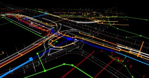
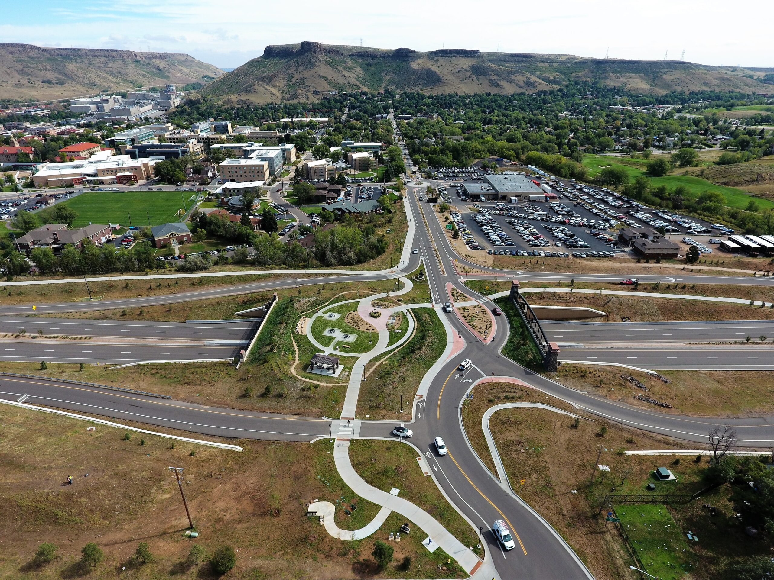
The 60-minute webinar examines tools like 3D laser scanners, drones, and subsurface utility locators, all of which can lay the foundation for almost any type of civil design. In addition to advanced visualization tools, presenters Eric Vallejo, IMEG Director of Civil Engineering, and Civil Operations Manager Marcy Leach will discuss a variety of software applications commonly used in collaboration to provide robust data critical for client needs.


