GIS Support Services

While Park County has GIS staff, IMEG has provided supplemental services where needed since 2016. We have covered ArcGIS Enterprise management, data development, and online application configurations.
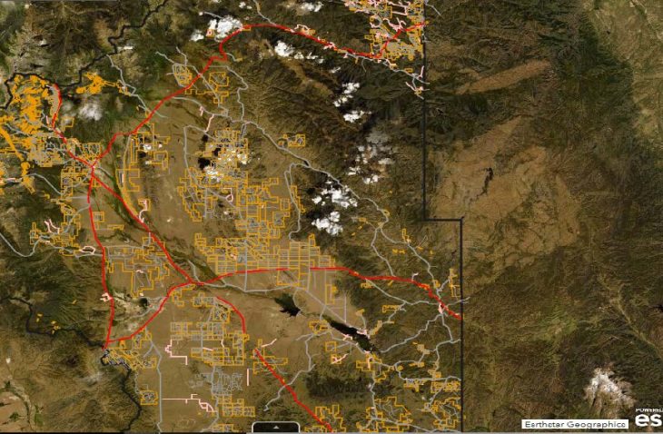
IMEG has supported the address point development and road centerlines for use in the Dispatch data along with configuring online applications to support the Dispatch center needs. We have worked with the GIS staff to develop parcel management workflows to associate the Assessor information to the GIS data. Online applications have been configured using services from the ArcGIS Enterprise data to provide public-facing tools.
IMEG has also worked with the County staff to configure the ArcGIS Enterprise environment through server and database configurations.


