Q&A with IMEG GIS Manager Mike Demmon
Q. What is GIS?
A. A Geographic Information System (GIS) is designed to support the collection, storage, manipulation, analysis and display of spatial data. GIS manages data in “layers” of similar type (street signs, soil type, socio-economic distributions, etc.) and then uses these layers to analyze spatial relationships. GIS also provides an excellent platform to review and evaluate future projects, build comprehensive models, test network connectivity, conduct spatial and linear analyses and construct 3D models to assist clients in understanding the complete scope of a given project. Like CAD, GIS operates in a projected environment, but is unique because GIS data will always have true ground coordinates tied to a physical location on the earth. This allows for a greater understanding of site influences, connectivity, community planning and more. GIS is frequently desired, requested or required as a supplement upon completion to many public-sector projects.
Q. What GIS services does IMEG provide?
A. IMEG provides clients with support in GIS, data collection and related geospatial services. Using GIS and other data-intensive processing systems, we help our clients better grasp the geographic context, asset layout and spatial distribution of their area of interest. We apply these GIS tools and skills to assist in resource management, asset collection and management, environmental impact assessment, land planning, spatial and network analyses, flow modeling, geoprocessing, marketing, and more. We predominantly integrate our GIS services with civil engineering projects, specifically in water resources and distribution, waste water collection, storm water, transportation planning, asset management, and database for design related information. We also can apply GIS to structural, mechanical, electrical, plumbing, infrastructure planning and more, and also often consult on independent projects.
Q. Describe a typical day on the job.
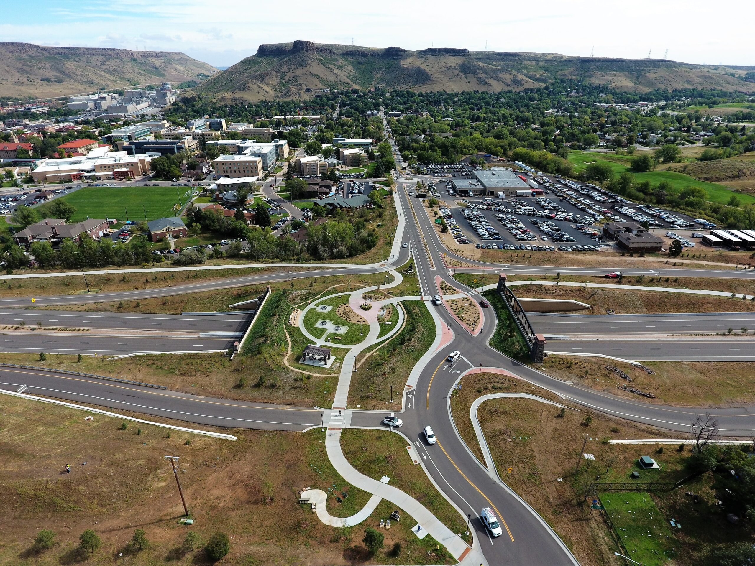
A. There is no “typical day” in GIS – that is the beauty of it. While most days involve working at a computer processing, cleaning or analyzing data, I am frequently able to get out of the office to work with field hardware and staff, collect data or meet with clients and vendors. One day will be working hands-on with a client to produce a customized map or graphic, and another day may involve flying a drone for data collection on an existing project site. Data is a critical factor in GIS, so ensuring proper collection and quality of data is paramount to this work.
Q. Why did you decide to become a GIS professional?
A. I have always liked geography and always paid attention to where things are and why. After declaring my major in undergraduate as geography, I was introduced to GIS. It was a burgeoning technology that was just beginning to be adopted by many government entities and forward-thinking companies. I was impressed by its capabilities and could easily see how GIS could be applied to a wide variety of problems. Even before graduation, I had multiple opportunities to work in GIS. As a professional, I have always enjoyed the variety of work that comes with GIS. Rarely are two days or even two projects the same. I have worked with GIS in real estate development, transportation, public works and capital improvement, environmental conservation, engineering and more, but I feel like I’ve seen barely a fraction of what GIS can do.
Q. How have you seen GIS change or improve?
A. When I began, GIS was primarily workstation-based and required a near-programmer skill set. By the end my schooling, GIS had evolved into comprehensive desktop software with an easy user interface. Constant evolution since then has brought us a software that provides a comfort level for entry-level users after only a couple of days of training – but is still fully functional and capable for high-end users with decades of experience. Now we are entering a new phase in GIS with cloud technology, easy-to-find data and new desktop applications that bring 3D technology into the analysis world. In addition, while data historically had been costly to produce and frequently difficult to find, with drone capabilities and software processing, we can capture accurate data in a fraction of the time. Most recently, we have become able to generate, review and analyze drone-captured data in a 3-D environment. We are just at the beginning of this technology, and I believe we will see wide-scale changes in how GIS is applied and used.
Q. How do you spend your free time?
A. I have a 4-year-old son, Hatch, who seems to have an unlimited amount of energy, so the idea of “free time” doesn’t come into play too much these days. When I can get away from everything, I can usually be found standing in a river fly fishing. I find it to be one of the most mentally relaxing activities I’ve ever tried, and it takes me to some unbelievably beautiful landscapes. I am a nature junkie, so if not on a river, I’m usually spending time with my family enjoying the Colorado outdoors and teaching my son about nature. I am also an ardent Washington Redskins and Capitals fan, so following football and hockey make for great days in the winter when it’s too cold to be outdoors.
Learn more about IMEG’s GIS & Data Collection Services, or contact Mike Demmon.


