


Fiber Line Asset Mapping
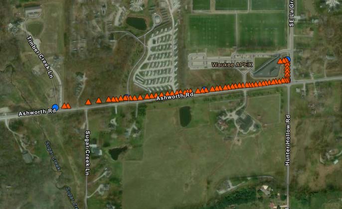
The Waukee School District depends on their fiber connections to provide connectivity to all of their schools. They have had issues with knowing where the service lines are located and having developments in the area break the lines.
IMEG was contracted to the survey the line locations and develop a GIS application along with a GIS database to track the locations. The IMEG GIS team developed a GIS database for the IMEG survey crew to use to collect the locations in the field.
The data is stored in ArcGIS Online providing a web-based application to view the locations and system information. The GIS data is also provided to the school district so that it may be shared with local utilities and developers. As more lines are located they will be added to the GIS and available in the online application to help prevent future breaks in the fiber lines.