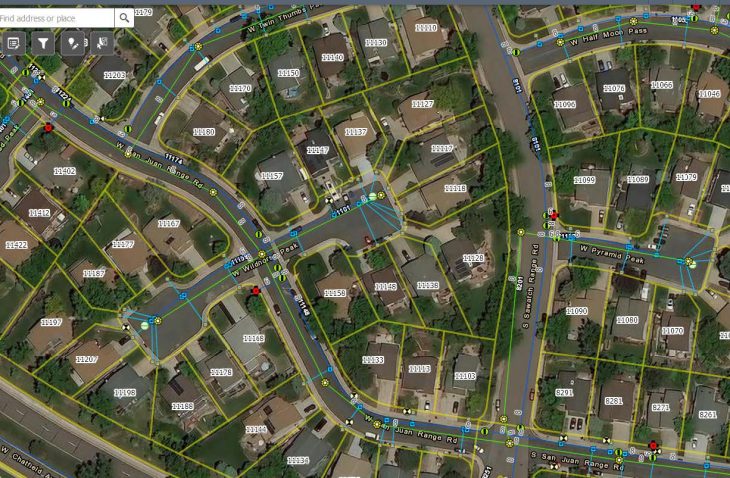
GIS Development and Support Services

IMEG has worked with the District since 2014 providing a number of GIS services focused on the use of ArcGIS Online as the primary platform. Initially, the data was developed from as-builts and Denver Water Board data. ArcGIS Online was then configured to be the access and management tool for the GIS. An editing application was configured to manage the data, accessible in the field using mobile devices to view and edit the data. A front desk application was setup for the administration staff for customer correspondence, using a variety of datasets from other agencies to provide more context to the staff. A work order management system was configured in ArcGIS Online allowing work requests to be logged and assigned to the operations staff, passing through to their mobile devices in the field. The mobile application allows operations staff to log the maintenance or work performed which is associated to the asset, and the information is then passed to a management dashboard so open and completed work requests can be viewed.


