Master Plan Update

The project: Develop a GIS database for master plans and provide a risk and resilience assessment.
The goal: The city of Pico Rivera needed to update their master plans for water, wastewater collection, and storm drain. They also wanted to update their Emergency Response Plan.
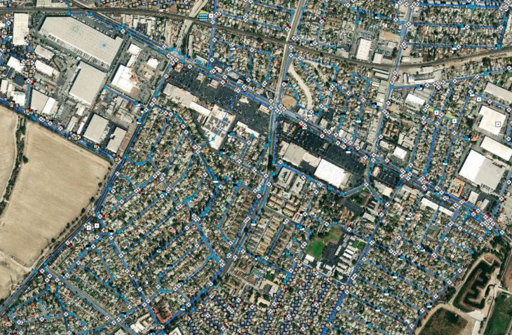
Project approach: To update the water master plan, IMEG updated the GIS system, developed a hydraulic model, and performed site inspections of the water treatment plants and pumps. The plan also evaluated the then-current population projection, water demand estimates, and water supply availability. The conclusion of the plan included an evaluation of the city’s budget and the development of a CIP. IMEG also updated the wastewater collection and storm drain plans.
IMEG’s security services included assisting the city in updating their Emergency Response Plan with specific and outlined responses for a variety of situations to protect their staff and provide a safer and more secure work environment. A Risk and Resilience Assessment was completed, finding and addressing numerous gaps in their physical, material, IT, and employee security.
Additional services included:
- Policy and procedure review for the emergency response plan
- Gap Analysis
- Jurisdictional Crime analysis and report
- Risk and Resilience Assessment and Report
Challenge: GIS was not available for each master plan, so the sewer system had to be developed using strictly as-built information, which resulted in a model with negative slopes. Solution: IMEG provided field surveys to more accurately determine the correct slopes.
Challenge: The hydraulic model and GIS were not available for the wastewater collection master plan. Solution: IMEG had built the GIS from information provided by LA County, which was then incorporated into a new hydraulic model. This hydraulic model was used in combination with the meters installed within the system to determine which areas within the system witnessed inflow and infiltration issues.
Challenge: The original evaluation of the storm drain system had been developed in the 1960s and the master plan was new. Solution: IMEG developed a new GIS system using as-builts and available documentation, which was then incorporated into a hydraulic model for the new storm drain master plan. This hydraulic model was used in combination with the hydrology model to evaluate the then-current capacity of the system.
Outcome: The GIS database developed from these three master plans was used in the field using City-provided toughbooks, allowing staff immediate access to the systems. The security team’s assessment and ERP helped the city create a “getting back to business” plan after an emergency situation.


