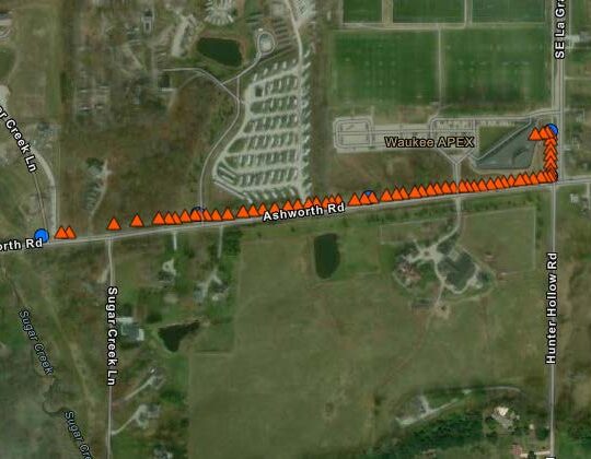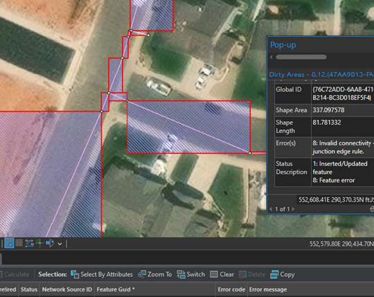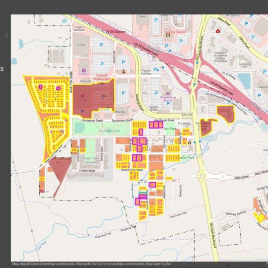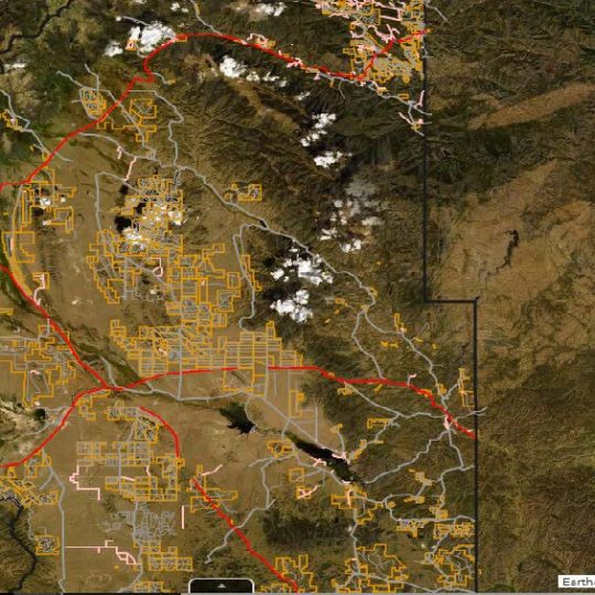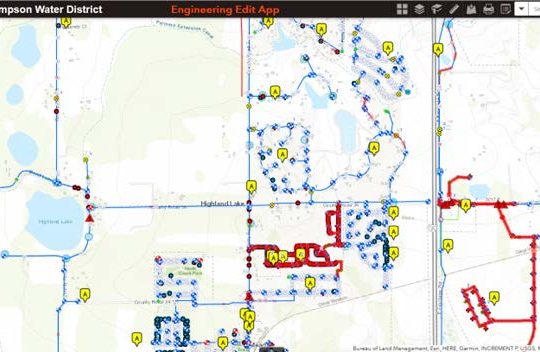


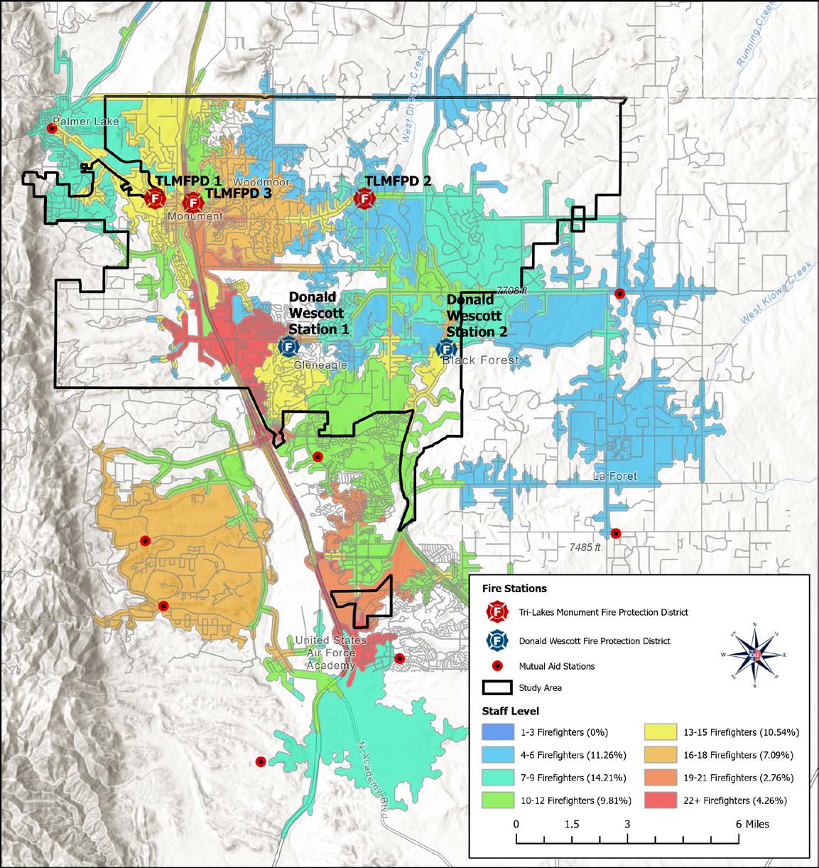
Geographic Information System (GIS)
IMEG provides geographic information system (GIS), data collection, and geospatial services to help clients understand the geographic context, asset layout, and spatial distribution of their area of interest. We specialize in supporting municipal governments and public agencies in the design, construction, and implementation of a GIS and/or asset management system, as well as in the maintenance, updating, and population of such a system. This can be project-specific or the beginning of a larger collection and more comprehensive GIS for a much larger project.